

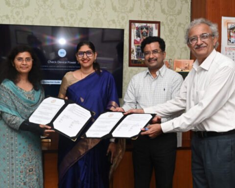
Chhattisgarh Signs MoU to Scientifically Assess and Verify Paddy Acreage Using Satellite Technology
Food Directorate and CGCOST to use satellite imagery, remote sensing and GIS for accurate mapping of paddy cultivation Raipur: Chhattisgarh has taken a technology-driven step towards obtaining more accurate and reliable data on the actual area under paddy cultivation. The Directorate of


