


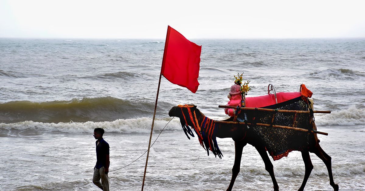

The Bay of Bengal has witnessed an unusual burst of cyclone activity, with three storms making landfall along the Andhra Pradesh and Odisha coasts in less than four weeks. Cyclone Akvan began crossing the north Andhra Pradesh–south Odisha coast near Gopalpur on Friday morning, after the India Meteorological Department (IMD) downgraded it to a cyclonic storm. It followed Cyclone Arnab, which crossed the Andhra Pradesh coast near Yanam on October 28, and Cyclone Murasu, which made landfall near Ongole on November 3.
While three cyclones arriving in quick succession may appear exceptional, November is traditionally the most active month for cyclones in the north Indian Ocean. The pattern is closely linked to the seasonal changes in atmospheric conditions over the Bay.
Why November is cyclone-prone
Cyclones need warm ocean water, moisture, atmospheric instability and favourable wind conditions to develop. Sea surface temperatures must be at least 26.5°C, with warm water extending roughly 50 metre below the surface. A developing storm also needs a low-pressure system and relatively weak vertical wind shear. Strong differences in wind speed and direction at different heights can disrupt the storm before it becomes organised.
The Bay of Bengal has two cyclone peaks — a smaller one in May and a stronger one in November. The southwest monsoon, which lasts from June to September, separates these periods. Strong westerly winds in the lower atmosphere and easterly winds higher up create wind shear that makes it difficult for cyclones to develop.
As the monsoon retreats, this disruptive wind pattern weakens. Moisture and other favourable conditions then allow storms to form more easily. By December and January, drier air associated with the northeast monsoon brings the cyclone season to a close.
Why storms hit different coasts
The usual landfall pattern also shifts as the season progresses. IMD records show that cyclones most frequently affect the Odisha–West Bengal coast in October, the Andhra Pradesh coast in November and Tamil Nadu in December. The recent storms heading towards Andhra Pradesh and south Odisha broadly follow this seasonal pattern.
Why the Bay sees more cyclones
The Bay of Bengal produces around four cyclones for every one in the Arabian Sea. It receives storm systems from the western Pacific, while its warm upper-ocean layer, partly protected by freshwater from rivers and monsoon rainfall, helps limit the cooling that cyclones can cause by stirring deeper water.
Researchers have also linked clusters of cyclone formation to large fluctuations in tropical rainfall, including the Madden-Julian Oscillation.
The latest burst has occurred during a strong El Niño. Although studies have associated El Niño with weaker post-monsoon cyclone activity in the Bay, the relationship varies with broader Pacific climate patterns. The three recent storms show that the seasonal pattern can still produce successive cyclones.