


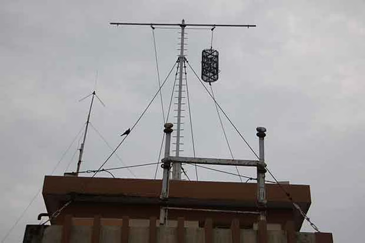

Storm warning signal Number 1 has been hoisted at nine ports as a precaution. The low-pressure area has strengthened into a well-marked low-pressure area, and is expected to move northwestwards, concentrating into a depression over the same region on Sunday, as per the India Meteorological Department (IMD).
It is subsequently likely to move north-northwestwards and strengthen further. By Monday evening, the system is expected to develop into a cyclonic storm over the central parts of the south Bay of Bengal and the adjoining west-central Bay of Bengal.
The forecast points to the storm moving towards the north Tamil Nadu coast. However, the information provided does not specify the precise location or timing of a possible landfall, or the wind speeds expected when the system approaches the coast.